Reading time: 1 minute
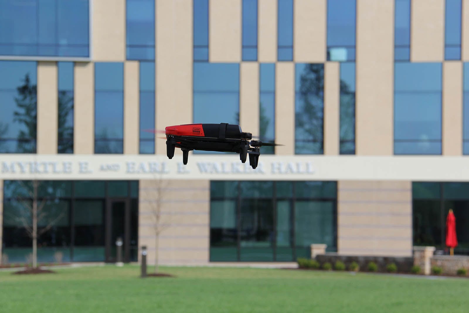
If not airplanes, most flying objects over Maryville’s quad are Canada geese, but nowadays you might just as easily be observing “the Spirit of Saint Louie”—a drone named after Maryville’s mascot, Louie, and the Saints athletics teams. The drone arrived this spring and will be used as lab equipment for fieldwork in the cyber security academic program.
The UAV has practical as well as academic applications. It can be used to monitor for open parking spaces, capture aerial photographs of campus, and to create interior and exterior videos of buildings and facilities, which would then be used for virtual tours of Maryville.
A second drone, unnamed, has been deployed through the Art & Design program for more than a year. “It was used last summer to map Greek architecture in central Greece and will be used again with students as we continue our work in Greece this summer,” says Todd Brenningmeyer, PhD, director of the art history program and associate professor.
Students also used the UAV as part of a geographic information system (GIS) class and some students incorporated the drone into their final projects, mapping topography and vegetation at Shaw Nature Reserve, an extension of the Missouri Botanical Garden.
“Drones give students the opportunity to engage with technologies that are changing the way we approach a whole variety of tasks,” Brenningmeyer says.
 drone.H